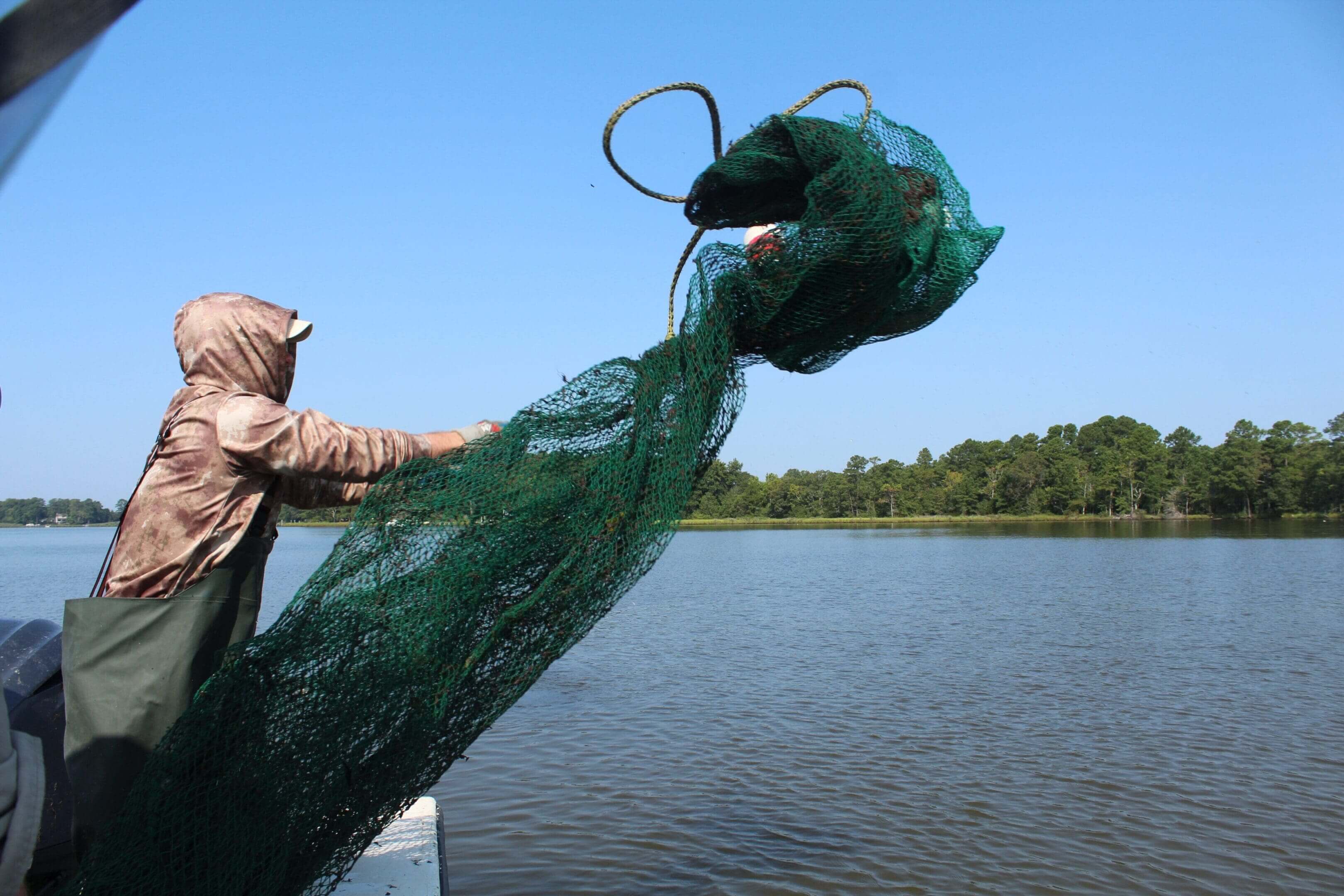
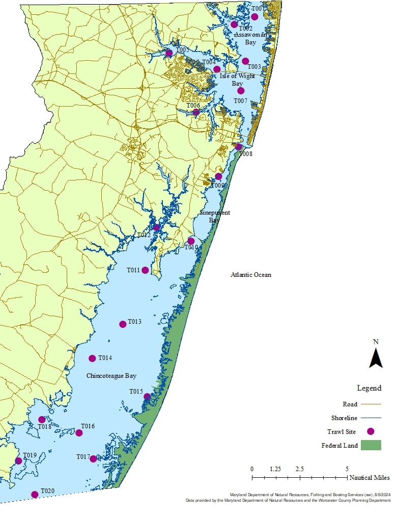
The boat operator considered wind and tide (speed and direction) when determining trawl direction. A standard 4.9 m (16 ft) semi-balloon trawl net was used in areas with a depth greater than 1.1 m (3.5 ft). Each trawl was a standard six-minute (0.1 hour) tow at a speed of approximately 2.5 to 2.8 knots (kts). Speed was monitored during tows using the GPS. Waypoints marking the sample start (gear fully deployed) and stop (point of gear retrieval) locations were taken using the GPS to document location of the sample. Time was tracked using a stopwatch, which was started at full gear deployment.
For each sampling method, chemical and physical data were documented at each location. Chemical parameters included Dissolved Oxygen (DO; milligrams/Liter (mg/L)), salinity (parts per thousand (ppt)), water temperature (Celsius (C)), and pH (Potential of Hydrogen). Physical parameters included tide state, water clarity (Secchi disk; centimeters (cm)), water depth (ft), weather conditions, wind direction, and wind speed (kts). Data were recorded on a standardized project data sheet printed on Rite in the Rain All Weather paper.
Dissolved oxygen, salinity, water temperature, and pH were taken with a Yellow Springs Instrument Pro Quatro at two depths, 30 cm (1 ft) below the surface (all gears) and 30 cm (1 ft) from the bottom (trawl). The Pro Quatro cable was marked in one-foot intervals. Chemical data were taken 30 cm below the surface for each beach seine site and at trawl site T019 due to the shallow depth (< 1.1 m). The Pro Quatro was calibrated at the beginning of each sampling round.
Water turbidity was measured with a Secchi disk. Secchi readings were taken on the shaded side of the boat without wearing sunglasses. The Secchi disk was lowered into the water until it could not be seen. It was then raised until the black and white pattern could just be seen. The biologist marked the position on the string with their fingers and measured the length of the string to the end of the disk.
Both beginning and ending depths for each trawl were read on a depth finder and recorded. At beach seine sites, depth was estimated by the biologists pulling the seine. Wind speed measurements were acquired using a handheld anemometer with digital readout. Measurements were taken facing into the wind. Tidal states were from the GPS tide feature.
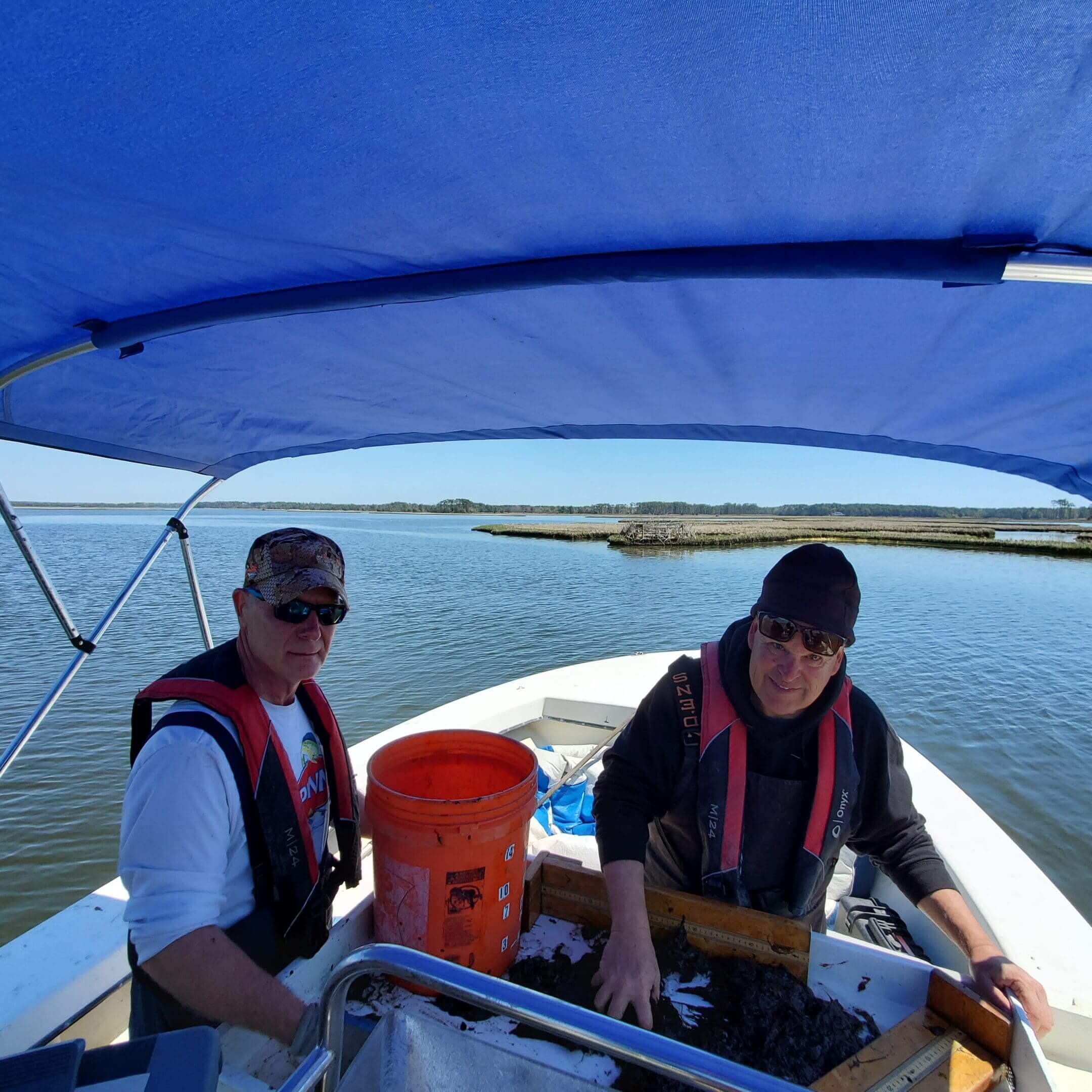
Fishes and invertebrates were identified, counted, and measured for Total Length (TL) using a wooden mm measuring board with a 90-degree right angle. A meter stick was used for species over 500 mm. At each site, a subsample of the first 20 fish (when applicable) of each species were measured and the remainder counted. An exception to this was made for black drum, black sea bass, and summer flounder where encounters of more than 20 fish were measured to improve assessment data. On occasion, invertebrate species counts were estimated when counts were impractical.
Blue crabs were measured for carapace width, sex was determined, and female maturity stage identified. Sex and maturity categories included immature female, male, mature female (sook) and mature female with eggs. A subsample of the first 20 blue crabs at each site was measured and the rest were counted. Sex and maturity status of the rest of the blue crabs were not recorded.
Bryozoans, ctenophores, jellyfishes, macroalgae, sponges and SAV were measured volumetrically (L) using calibrated containers with small holes in the bottom to drain excess water. Small quantities (generally ≤ 10 specimens) of invertebrates were occasionally counted or visually estimated. Bryozoans, macroalgae, and sponges were combined for one volume measurement and a biologist estimated the percentage of each species in the sample. Unknown species were placed in Ziploc bags on ice or kept in a bucket of water and taken to the office for identification.


