Welcome to NEAMAP!
What is NEAMAP?
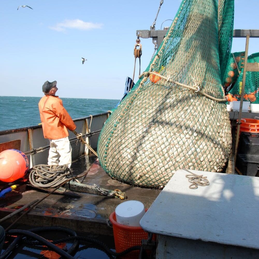
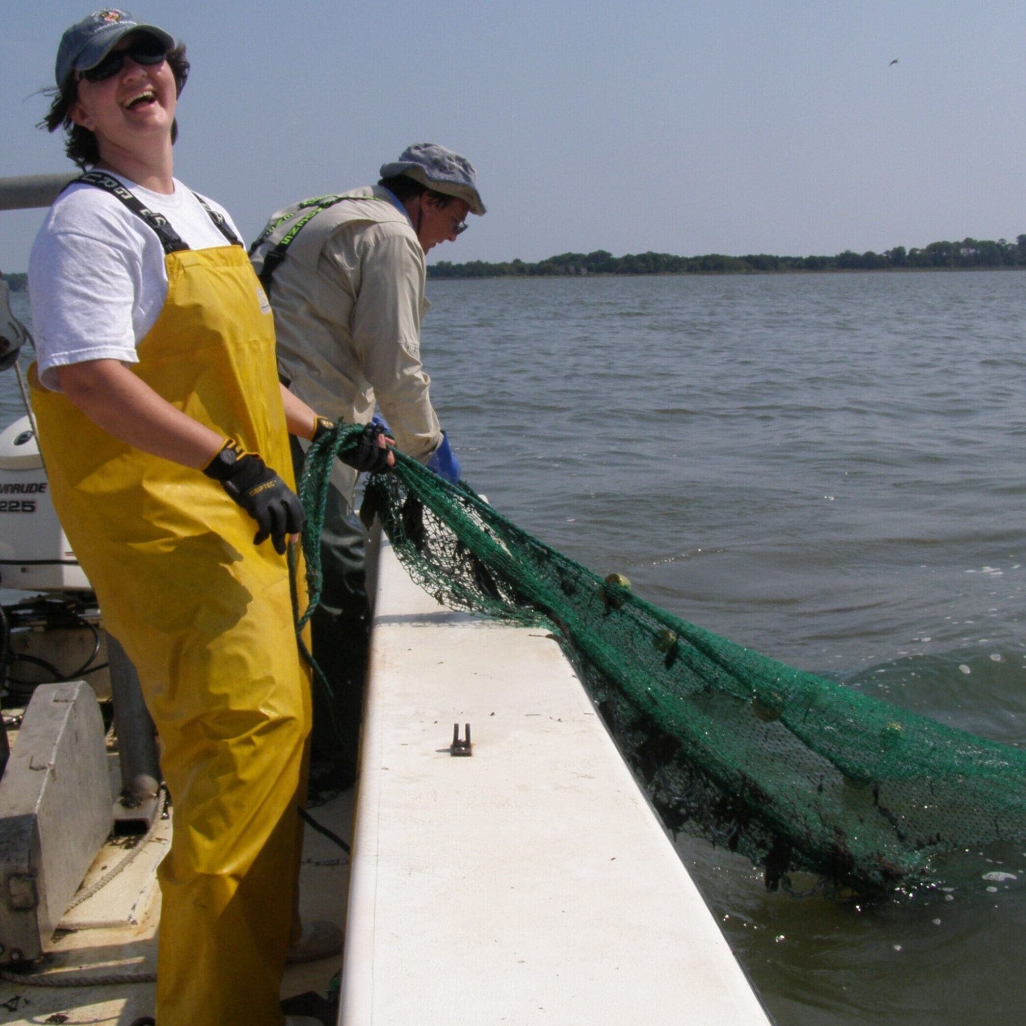
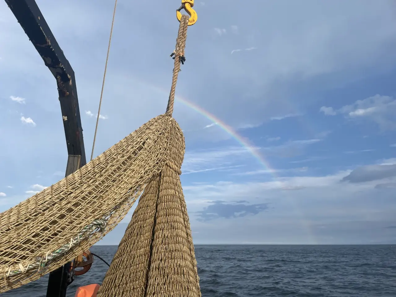
NEAMAP (Northeast Area Monitoring and Assessment Program) is a collaborative state-federal initiative dedicated to the collection, analysis, and dissemination of fishery-independent data along the Atlantic coast, from the Gulf of Maine to Cape Hatteras, NC. Our data collection efforts support stock assessments and fisheries management while enhancing our understanding of the marine ecosystem. The fishery-independent data we gather are invaluable resources for government agencies, recreational and commercial fisheries, researchers, and various stakeholders. Our program aims to coordinate existing fishery-independent surveys to optimize activities, promote comprehensive and consistent data collection, and maximize the utility of survey findings.


Fishery-Independent Data
NEAMAP relies on a combination of fishery-independent data to create a comprehensive overview of stock size and status for various important species. Our fishery-independent surveys are conducted over extended periods, allowing us to identify and monitor long-term biological trends while conducting fishery stock assessments. This data represents scientifically designed sources that are not influenced by management measures—such as size and bag limits, season closures, or gear restrictions—and are collected impartially without preferential targeting of areas with high fish abundance.
Common information collected through our fishery-independent surveys includes:
- Recruitment
- Juvenile and Adult Abundance
- Habitat Characteristics
- Environmental Factors
In contrast, fishery-dependent data are collected directly from recreational and commercial fishing activities.

Where Are Our Surveys?

Our Structure
NEAMAP surveys comprise three official NEAMAP surveys and seven partner surveys, which include both Operations Committee-designed and partner surveys operating on local and regional scales. Our surveys are specifically designed to collect long-term fishery-independent data on species abundance, distributions, and life history, alongside related ecosystem and environmental information. All NEAMAP and partner surveys undergo a thorough review and approval process by the NEAMAP Operations Committee.
To learn more about what constitutes a NEAMAP or a NEAMAP partner survey, click here.


